Damodar Sub-basin
The Damodar river also known as the Deonadi in its initial reaches is one of the most important rivers to join the Ganga on its right bank, east of the Sone. The Damodar rises in the south-east corner in the hills of the Chottanagpur Plateau of the Palamau district of Bihar at an elevation of 1366m. It joins the Hugli river 48 km south of Kolkata with the length of 541 km and drainage area of 22,000 Sq.km.
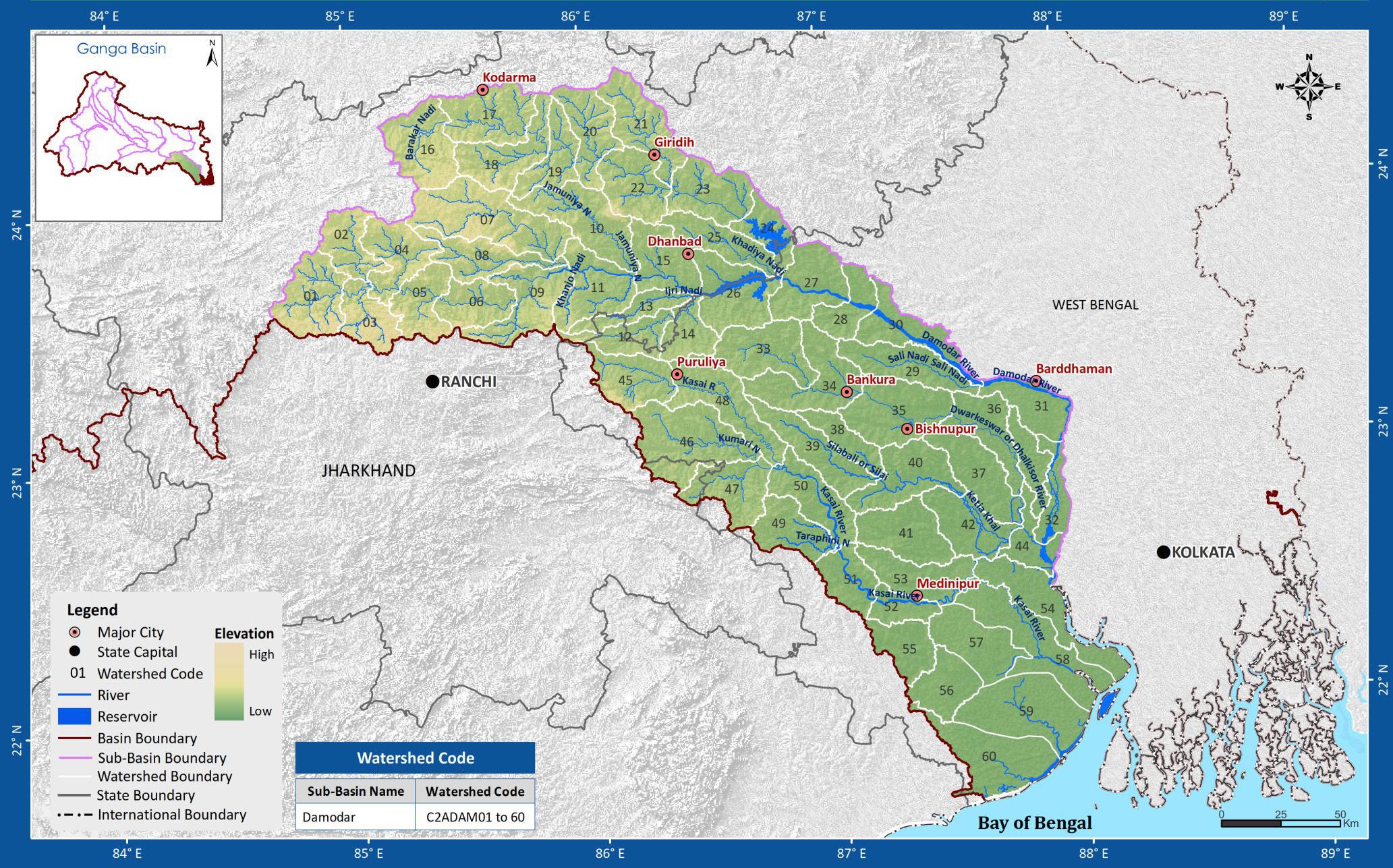
The geographical extent of the Damodar sub-basin lies between 84° 35' to 88° 20' east longitudes and 21° 44' to 24° 25' north latitudes of the country. The Damodar sub-basin of Ganga basin has a total catchment area of 41965 Sq.km. The main river is the Damodar and the Usri, the Barakar and the Kasai is the other tributaries that are draining in Damodar sub-basin. It drains into the states of Jharkhand and West Bengal. The sub basin map is shown below:
The river has been tamed through DVC multi-purpose project which is providing significant contribution in the economic development of the area.
(Source: India-WRIS)