Ghaghara Confluence to Gomti
Confluence
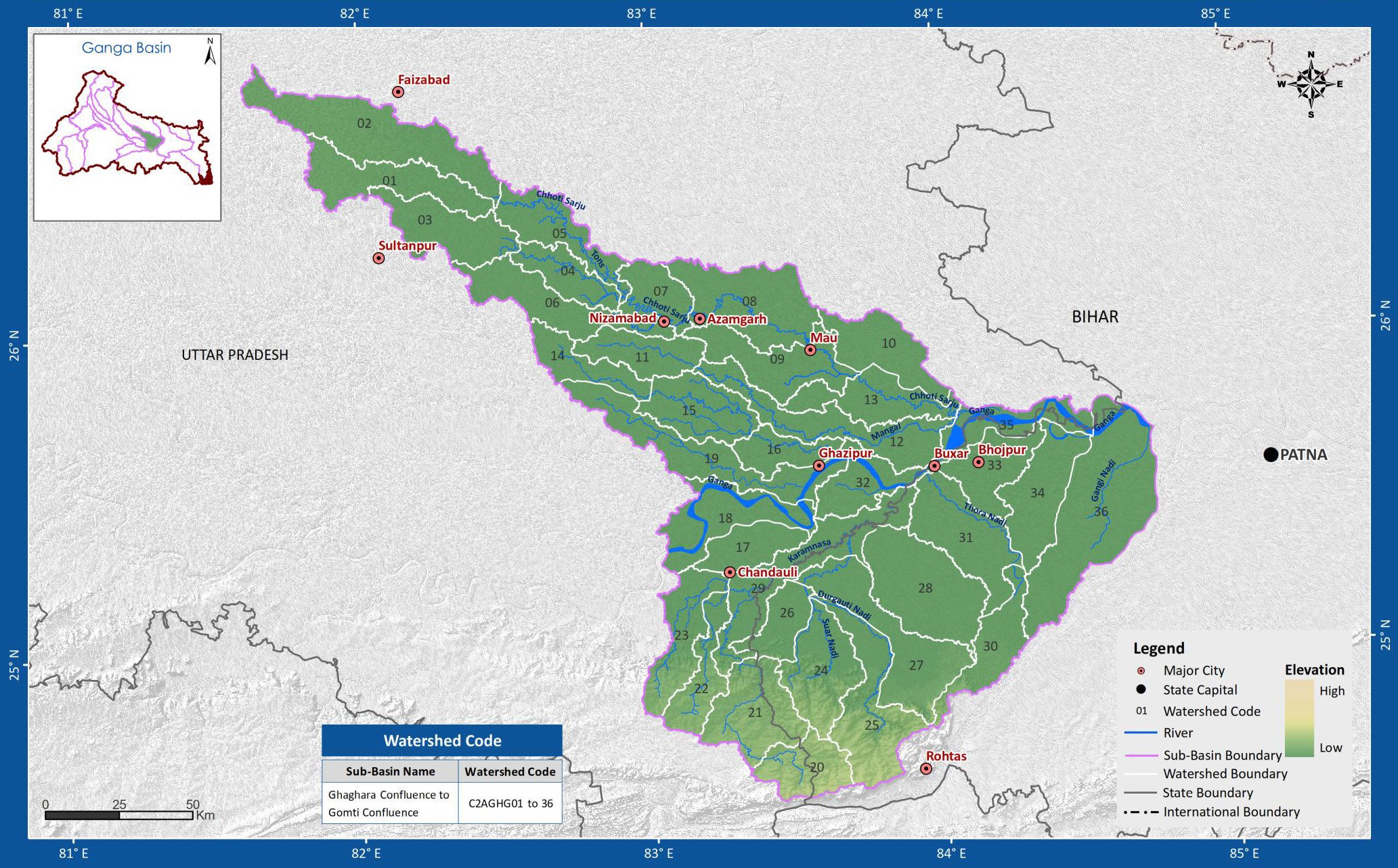
The geographical extent of the Ghaghara Confluence to Gomti confluence sub-basin lies between 81° 34' to 84° 47' east longitudes and 24° 34' to 26° 48' north latitudes of the country. In this sub-basin the Gomti and Ghaghara to its main Ganga river. The other rivers that are draining in this sub-basin are the Banas Nadi, the Chhoti Sarju, the Durgauti Nadi, the Gomati, the Kao Nadi, the Karamnasa and the Majhoi to name some. The Ghaghara sub-basin of Ganga basin has a total catchment area of 26,254 Sq.km. It drains into the states of Uttar Pradesh and Bihar. The sub basin map is shown below:
(Source: India-WRIS)