Kosi Sub-basin
The geographical extent of the Kosi sub-basin lies between 85° to 87° 21' east longitudes and 25° 25' to 26° 48' north latitudes of the country. Kosi is a major tributary of the Ganga river which originates at an altitude of 7,000 m in the Himalayas. The total drainage area of the Kosi river is 74,500 Sq.km out of which 11,000 Sq.km lie in India. Nearly 80 percent of the Kosi catchment is in Nepal and Tibet. About 77 percent of the area is under cultivation. The total catchment area of Kosi basin is 95,156 Sq.km of which 18,413 Sq.km lies in India. Other than the main river the Kosi and the Adhwara, the Bagmati, the Kareha, the Balan, the Kamla, the Lakhandal form some of the major river flowing in this sub-basin. The sub-basin completely falls in the Bihar state. The river is also known as Sorrow of the Bihar because of the frequent floods in the Kosi river. The sub basin map is shown below:
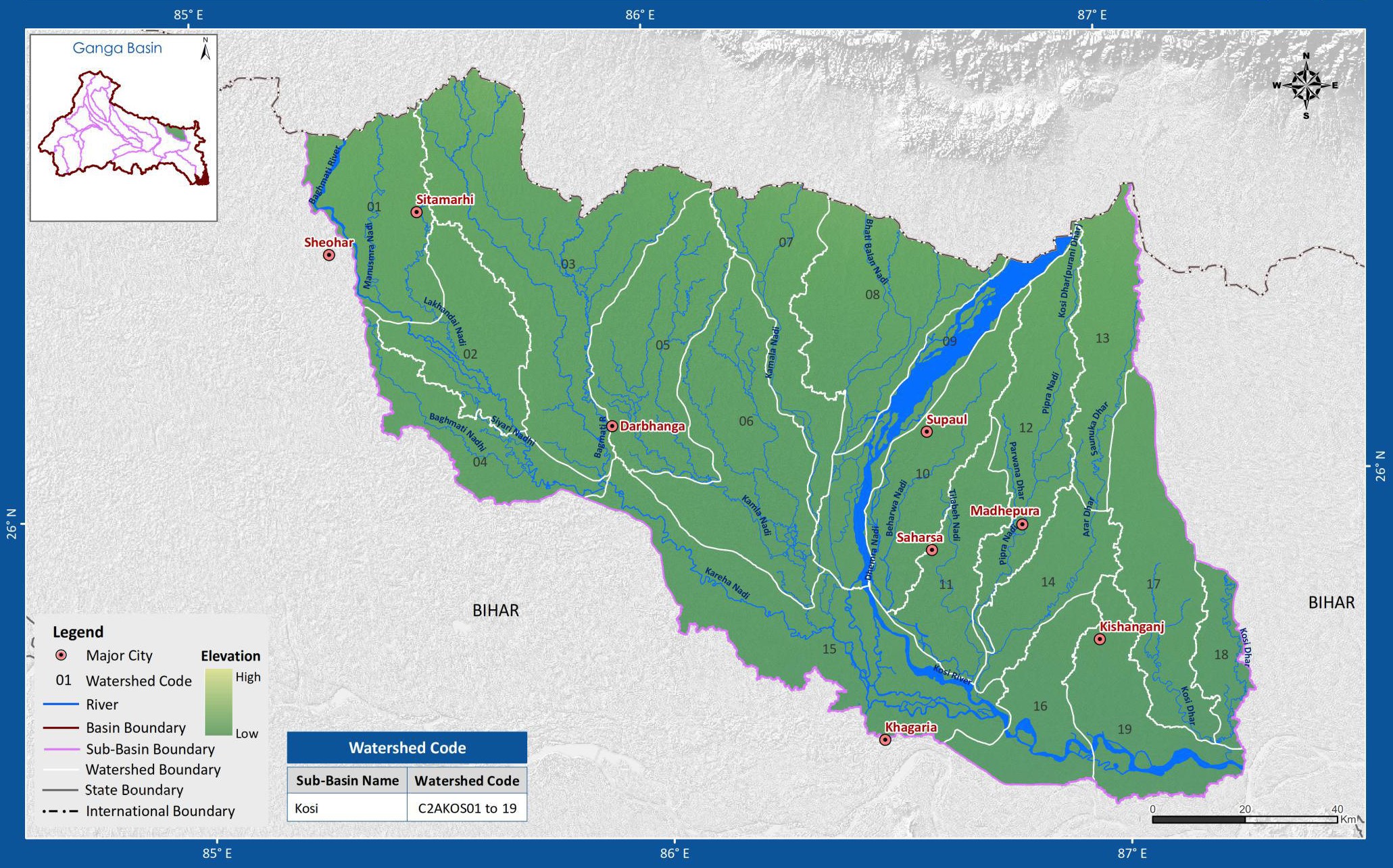
(Source: India-WRIS)