Ramganga Sub-basin
The geographical extent of the Ramganga sub-basin lies between 78° 14' to 80° 8'
east longitudes and 27° 7' to 30° 6' north latitudes of the country. The
Ramganga is the first major tributary joining the Ganga. It rises at an altitude
of about 3,110 m in the lower Himalayas near the Lohba village in the Garhwal
district of Uttarakhand. The length of the Ramganga river from the source to the
confluence with the Ganga is 596 km. During its course, the river flows through
a mountainous terrain and has a number of falls and rapids. The river enters the
plains at Kalagarh near the border of the Garhwal district, where the famous
Ramganga dam has been constructed. Beyond Kalagarh, the river flows in a
southeasterly direction and finally joins the Ganga on its left bank near Kanauj
in the Fategarh district. The river flows entirely in the states of Uttarakhand
and Uttar Pradesh. The catchment area of the sub-basin is about 30,839 Sq.km.
The important tributaries that join the Ramganga river are the Ban, the Khoh,
the Gangan, the Gagas, the Aril, the Kosi, the Haldgadi Rao and the Deoha. The
sub basin map is shown below:
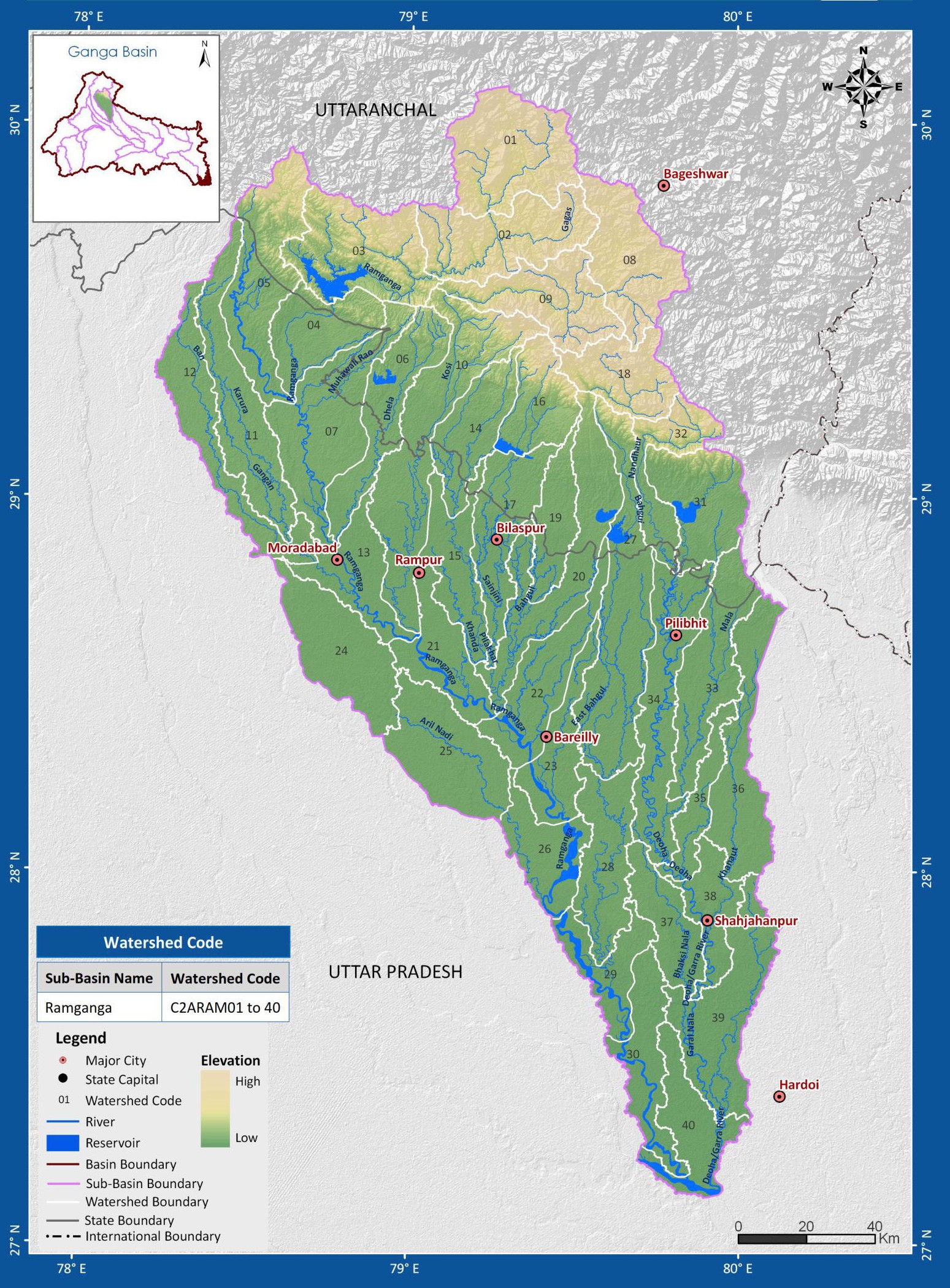
(Source: India-WRIS)