Tons Sub-basin
The geographical extent of the Tons sub-basin lies between 80° 18' to 83° 20' east longitudes and 23° 58' to 25° 17' north latitudes of the country. The major river in this sub-basin the Tons is the longest tributary of the Yamuna river. It flows through Garhwal, the western part of the Himalayan state of Uttarakhand. The river originates at an elevation of 3,900 m and joins the Yamuna below Kalsi. With its source in the 6,315 m high Banderpoonch Mountain, it is the biggest tributary of the Yamuna. In fact, Tons carries more water than the Yamuna itself. It has a total catchment area of 16,905 Sq.km and drains mostly in the states of Madhya Pradesh and parts of Uttar Pradesh. Along with Tons the other major rivers that flow in this sub-basin are the Satna and the Belan rivers. The sub basin map is shown below:
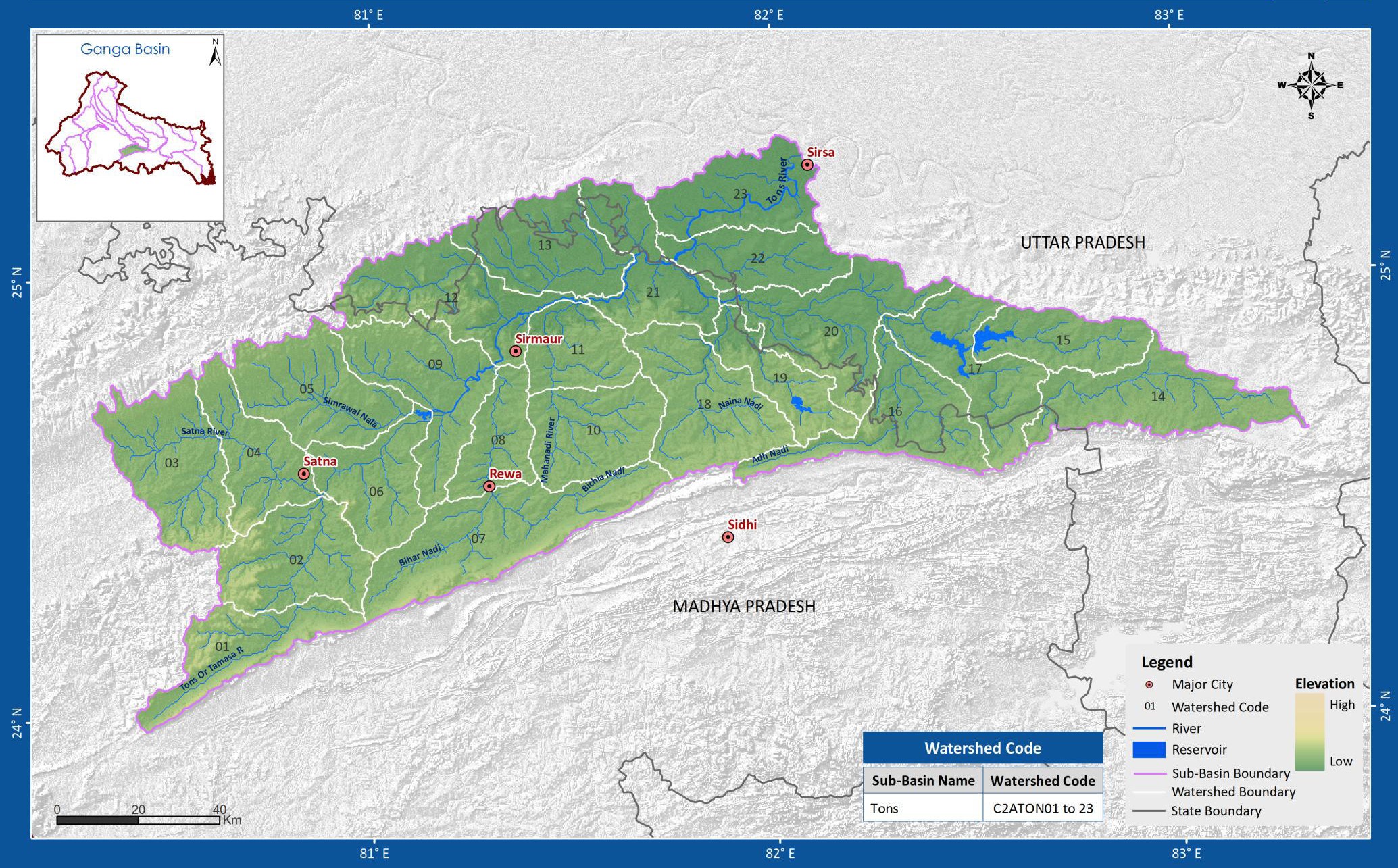
(Source: India-WRIS)