This is a fairly large basin whose total area is 334,390 km2. It lies between east longitudes 68°7’and 75°50’and north latitudes 20°40’and 29°25’. Located in Western India, this area covers large parts of Rajasthan, Gujarat and Diu (UT) as well as (very small) inland drainage area of Punjab. The state-wise distribution of the drainage area is given below:
|
State |
Drainage Area (km2) |
|
Rajasthan |
193,359 |
|
Gujarat |
140,932 |
|
Diu |
45 |
|
Punjab (inland drainage) |
54 |
|
Total |
334,390 |
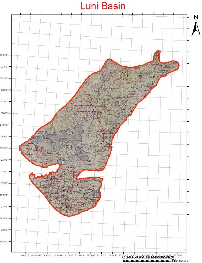
The basin is bounded on the north and east by the ridge separating it from the Indus, the Ganga and the Sabarmati basins, on the south by the Arabian Sea and on the west by Pakistan. The shape of the basin is irregular; it has a maximum length of 1,045 km2 in a NE-SW direction and a maximum width of 470 km in a NW-SE direction.
Although many rivers flow in this region, the more important are the Luni, the Shetrunji, the Bhadar, the Machhu, the Rupen, the Saraswati, the Banas, the Mitti and the Damanganga. The chief characteristics of the rivers are that after flowing for some distance, they disappear in the desert.
A catchment area of the major rivers follows :
|
River |
Catchment Area (km2) |
|
Luni |
37,363 |
|
Machhu |
2,331 |
|
Damanganga |
1,813 |
Water Resources Projects in the Basin
Machhu‑I Dam
This dam is located on river Machhu near Jalsika village in Wankaner taluka of Rajkot district. The location of the dam is 57 km from the source of the river. The town of Wankaner, one of the seats of former princely states, lies 22 km downstream of Machhu‑I dam. The dam was completed in the year 1958. The catchment area up to the dam site is 735 km2. This project has been designed for gross and live storage capacities of 72.7 Mm3 and 70.8 Mm3 respectively with FRL at 135.35 m.
The Machhu‑I dam has been conceived as a reservoir impounding water for the purpose of irrigation. The command area of the project lies on the left bank of Machhu River in the Wankaner and Morbi talukas of Rajkot district. The gross command area of this project is 182.18 Mm2 and the culturable command area is 104.09 Mm2.
The whole of the catchment area gradually rises towards the source in the north‑eastern direction, i.e., Mandva hills from where the river takes its origin. Out of the 735 km2 of the catchment area at the dam site, 36.3 km2 have already been intercepted by a tank at Aria, 35.4 km upstream of the dam site.
The reservoir is intended to provide irrigation water all the year round. Hence a provision for the evaporation and absorption losses that occur in the reservoir throughout the year has been made. Taking evaporation and absorption losses as 1.83 m for the entire year, an allowance of 8.67 Mm3 of water has been made in the reservoir. The spillway of this project was designed to pass a flood of 2,595 cumec with HFL at 137.46 m. Clear overfall weir of 487.68 m in the river portion with water cushion has been provided.
Machhu‑II Dam
This dam is located on river Machhu near village Jodhpur in Morbi taluka of Rajkot district at a distance of 103 km from the source of the river. The total catchment area up to the dam site is 1,928 km2. The gross and live storage capacities of this dam are 100.41 and 90.73 Mm3 respectively with FRL at 57.32 m. The Machhu‑II dam has been conceived as a reservoir impounding water for conservation purposes like irrigation and municipal water supply and for flood control. The maximum observed flood for this project is 13,026 cumec while the peak of design flood hydrograph is 18,548 cumec. However for the purpose of spillway design, the peak flood of 26,420 cumec has been adopted. This dam was breached in August, 1979 floods. The dam has been rebuilt now.
The towns of Morbi and Malia, lie 9 km and 46 km downstream of the Machhu‑II dam respectively. The Morbi town is situated on the left bank of the river whereas the Malia town is situated about 1.5 km away from the left bank. The area under the command lies on the left bank of river Machhu. Geographically, the command lies between latitudes of 22°46’ N and 22°57’ N and longitudes of 70°52’ E and 70°40’ E. The area has more or less flat topography which is characteristic of the coastal low‑lands. The water stored in the reservoir is utilized mainly during Kharif & Rabi seasons. The area where this scheme has been taken up is much affected by famine and hence the Govt. of Gujarat has taken up this scheme as a protective scheme.
The catchment area up to Machhu-II dam site is partly hilly and partly cultivated and fan shaped. Most of the annual rainfall in the catchment area falls in the monsoon months from June to September. The average annual rainfall in the Machhu – II catchment is 60.2 cm. The maximum temperature reaches around 43°C in the hottest month of May whereas the lowest temperature falls to 6°C in the coldest month of January.
It may be pointed out that in this particular case, the capacity of the reservoir is governed by the submergence of lands and the probable submergence of a part of the railway line from Rafaleshwar to Dhuva on the Novlakhi Wankaner line. The lowest level of the top of railway embankment at certain places is at R.L. 59.44 m.
Damanganga Dam
Damanganga dam was constructed in the year 1983 across Damanganga River near village Madhuban of Valsad district. The dam site is 30 km away from Vapi and 60 km from Valsad. The dam is designed to impound gross storage of 567 Mm3 at RL 79.584 m. The live storage capacity of the dam is 502.00 Mm3. The length of masonry dam is 352 m and length of earthen dam is 2,376 m. The maximum height of dam above river bed on ground is 57.50 m. The spillway length is 191.11 m. Ten radial gates of size 15.55 m × 14.02 m are provided. The designed annual irrigation from the dam is 570 Mm2.
Mitti Dam
The Mitti dam is basically an irrigation scheme located on River Mitti near Village Trambau in Abdasa Taluka of Kachchh District in Gujarat. The latitude and longitude of the site are 23º20’0” and 68º 49’30” respectively. The scheme drains a catchment area of 468.79 km2 and serves a gross command area of 55.67 Mm2. The gross storage, dead storage and live storage capacities of the dam is 17.40 Mm3, 2.68 Mm3, and 14.72 Mm3 respectively.
Palitana Dam
The Palitana dam, which is also known as Shetrunji irrigation scheme was constructed in the year 1959 across river Shetrunji near village Nani – Rajasthali of Palitana taluka of Bhavnagar district. The dam site is 10 km away from Palitana city on Palitan Talaja road.
The dam is designed to impound gross storage of 415.414 Mm3 at RL 55.53 m. The length of masonry dam is 769.79 m and total length of earthen dam is 3,126.86 m. The maximum height of dam above river bed on ground is 25.31 m. The gross catchment-area of the Shetrunji River at the dam site is 4,317 km2 and intercepted catchment is 389 km2. The catchment area of the river is partly hilly and partly plain. The drainage area up to village Padargadh is hilly and full of vegetation. Shape of catchment is fan type with maximum length being 105 km and width about 72 km. Designed rate of sedimentation is 0.476 mm/year for gross storage.
The mean annual rainfall in the watershed is 55.20 cm with the maximum being 96.10 cm and the minimum being 17.20 cm. In the command, the maximum rainfall is 50.80 cm. The mean annual flood at the dam site is 4,183 cumec. A 645.56 m long spillway is designed to pass discharge of 7,080 cumec. Four gates of size 1.51 m × 1.83 m on right flank and 2 gates on left bank are provided.