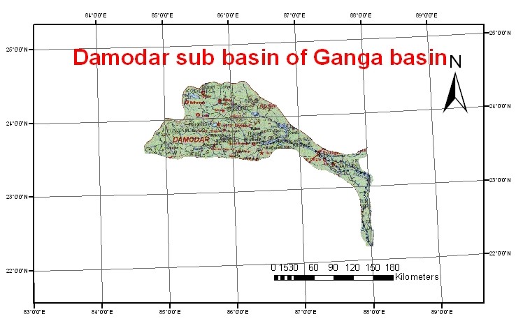
The Damodar River rises in the Palamau hills of Choota Nagpur at an elevation of about 609.75 m. It flows in a south-easterly direction entering the deltaic plains below Raniganj. Near Burdwan, the river abruptly changes its course to a southerly direction and joins Hooghly about 48.27 km below Calcutta. Its slope during the first 241.35 km is about 1.89 m/km, during the next 160.9 km about 0.568 m/km and during the last 144.8 km about 0.189 m/km. The total length of the river is nearly 547 km and a total drainage area is 22,005 sq. km. The principal tributary Barkar joins the Damodar after traveling for about 241 km. Damodar basin lies in the states of Jharkhand and West Bengal.