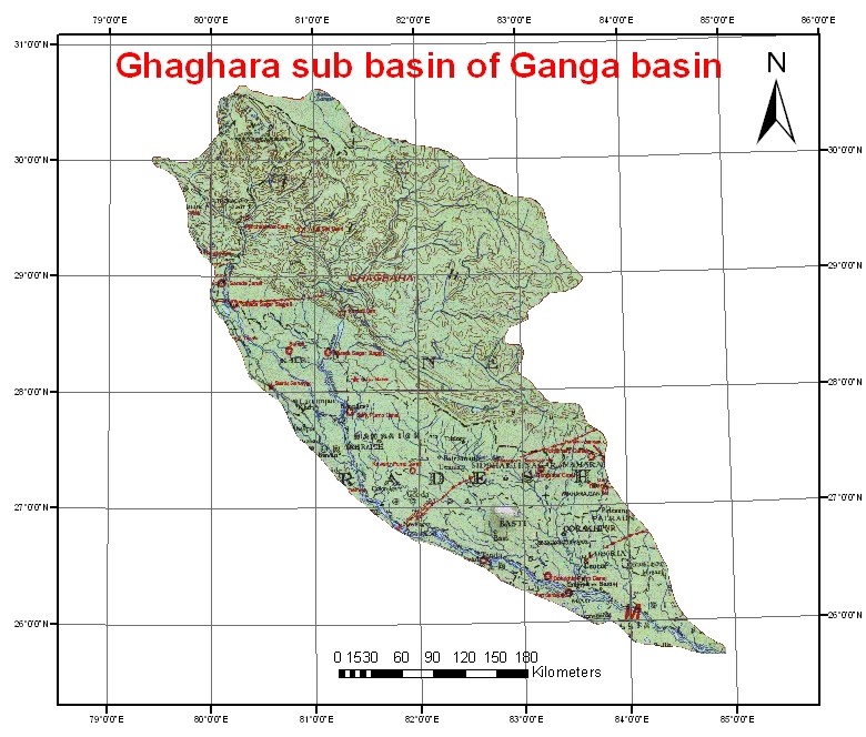
The Ghaghra River originates at an elevation of 4,800 m near Mansarover Lake. The river is also known as Manchu and Karnali in Nepal. After flowing for about 72 km in a south-easterly direction, the river enters Nepal. Ghaghra enters into India at Kotia Ghat near Royal Bardia National Park, Nepal Ganj, where it is known as the river Girwa for about 25 km. The total catchment area of the Ghaghra River is 127,950 sq. km, out of which 45% falls in India. The Sarda River is the important tributary of Ghaghra River, which forms the boundary between India and Nepal for some distance. The Sarju, Rapti and Little Gandak are the other important tributaries of the Ghaghra River. The total length of Ghaghra River before its confluence with Ganga River (at Doriganj downstream of Chhapra town in Bihar) is 1,080 km.