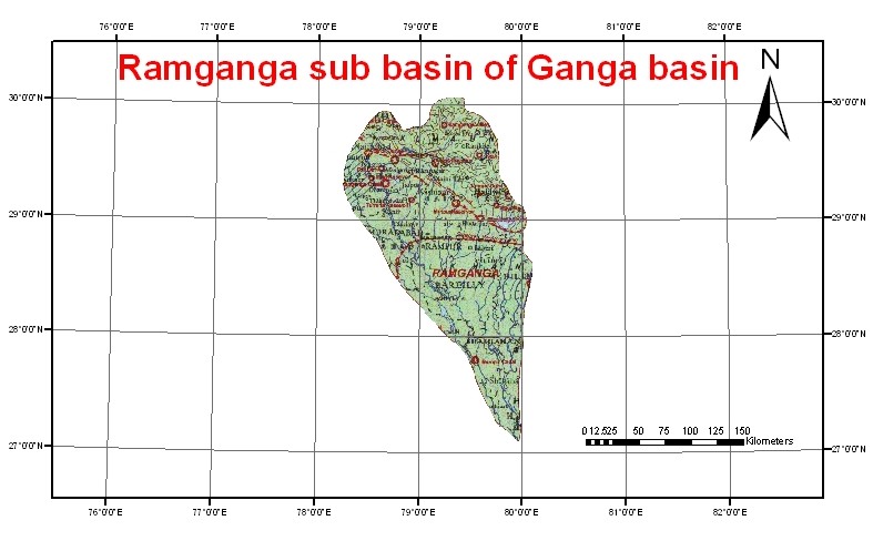
Ramganga is the first major tributary joining Ganga. It rises at an altitude of about 3,110 m in the lower Himalayas near the Lohba village in the Garhwal district of Uttaranchal. The length of the Ramganga River from the source to the confluence with the Ganga is 596 km. During its course, the river flows through a mountainous terrain and has a number of falls and rapids. The river enters the plains at Kalagarh near the border of the Garhwal district, where the famous Ramganga dam has been constructed. Beyond Kalagarh, the river flows in a southeasterly direction and finally joins the Ganga on its left bank near Kanauj in the Fategarh district. The river flows entirely in the states of Uttaranchal and Uttar Pradesh. The catchment area of the basin is about 32,493 sq. km. The important tributaries that join the Ramganga River are the Kho, the Gangan, the Aril, the Kosi, and the Deoha (Gorra).