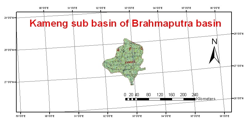
The Kameng river was earlier known as Bhareli river is known as Kameng river in Arunachal Pradesh and Jia Bhoreli in Assam. The river originates in the eastern Himalayan mountains, of the Tawang district from the Glacial lake below snow capped Gori Chen mountain. It originates at 27°48′36″N 92°26′38″E, (6,300 metres (20,669 ft) on the India-Tibet border in South Tibet and flows through Bhalukpong circle of West Kameng District, Arunachal Pradesh and Sonitpur District of Assam, India. It is one of the major tributaries of the Brahmaputra River, joining it at Tezpur, just east of the Kolia Bhomora Setu bridge.
The Kameng forms the boundary between East Kamemg District and West Kameng Districts and is also the boundary between the Sessa and Eaglenest sanctuaries to its west and the Pakke tiger reserve to the east.Map 2 The Dafla Hills are east and the Aka Hills (home of Aka tribe) are west of the Kameng River. The entire stretch of forest along the Bhalukpong-Bomdila highway on the west bank of the river in West Kameng has vanished in the last few years though the forest across the river continues to be in a healthy state.
The eastern half of Eaglenest-Sessa Wildlife sanctuaries is drained by the Tippi Naala (Tippi river) which joins Kameng river at the village of Tippi on the Bhalukpong-Bomdila highway. The other major rivers flowing through West Kameng District, the Tenga, Bichom and Dirang Chu, are also tributaries of the Kameng.